Our Services
Land Surveying
High-resolution aerial surveys that provide accurate topographical data, saving time and reducing costs compared to traditional methods.
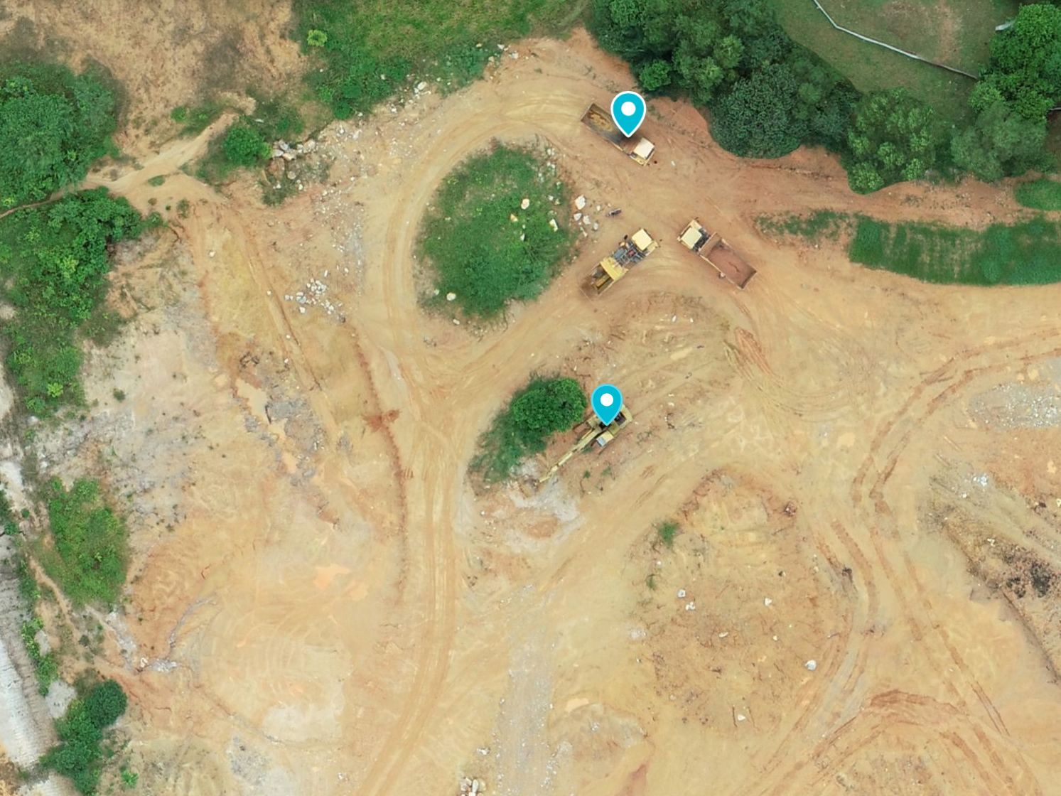
Construction Site Monitoring
Regular aerial monitoring of construction sites to track progress, identify potential issues, and ensure compliance with project timelines
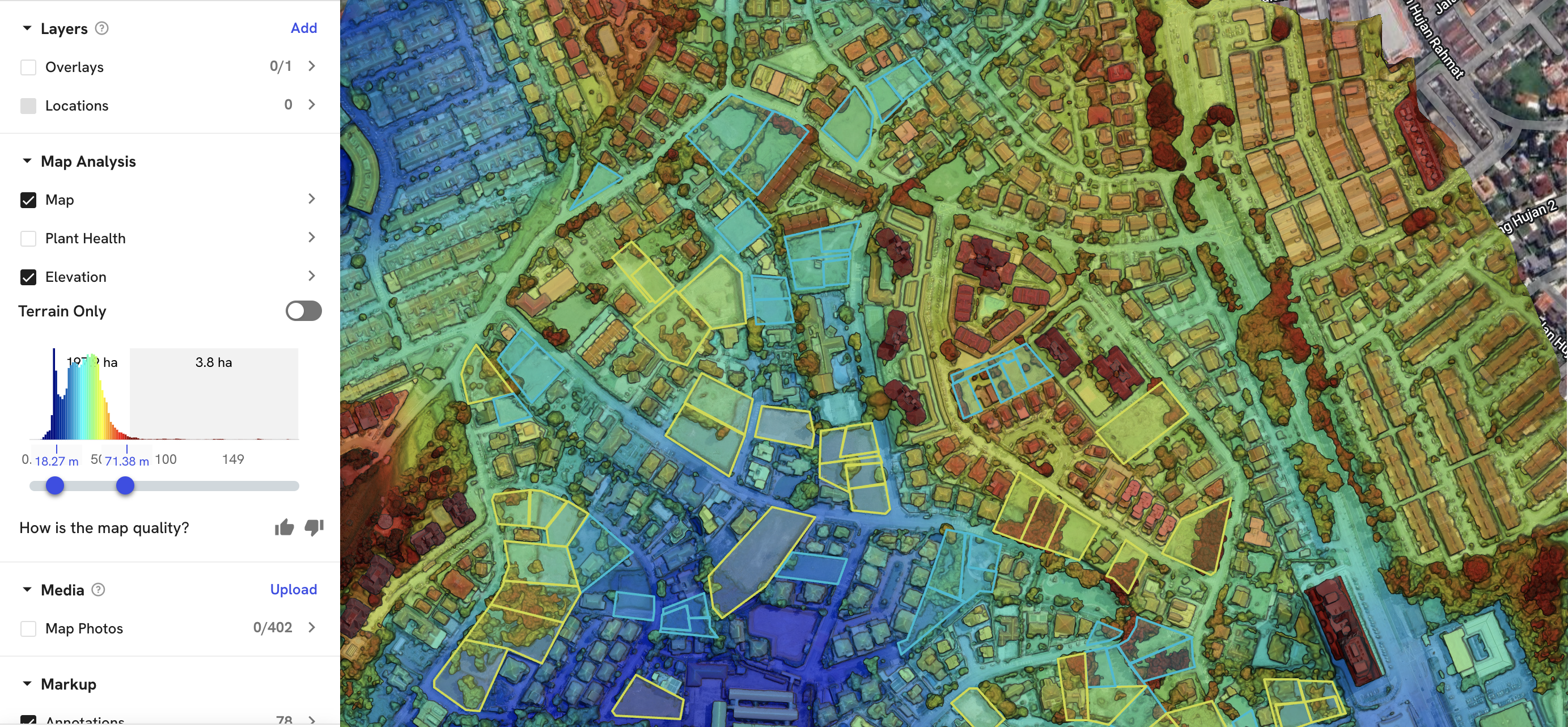
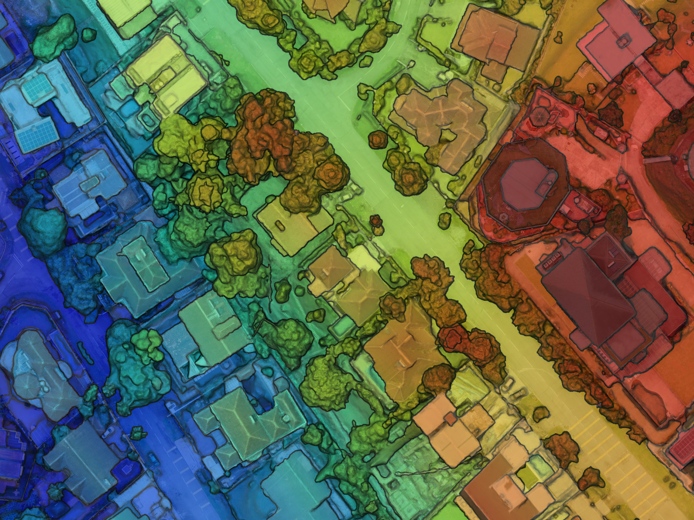
Aerial Mapping
Create precise, up-to-date maps for urban planning, environmental monitoring, and more using advanced drone technology.
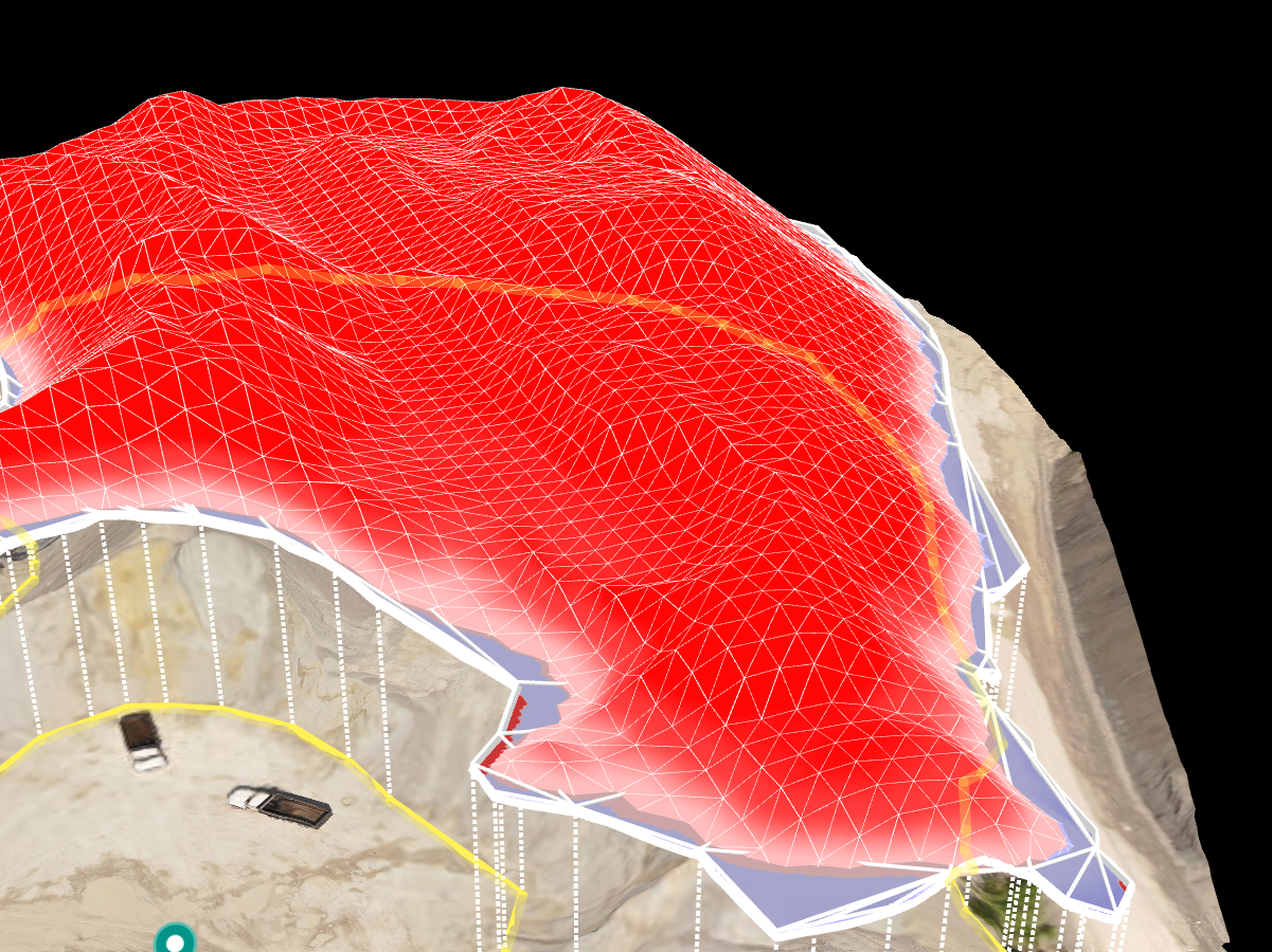
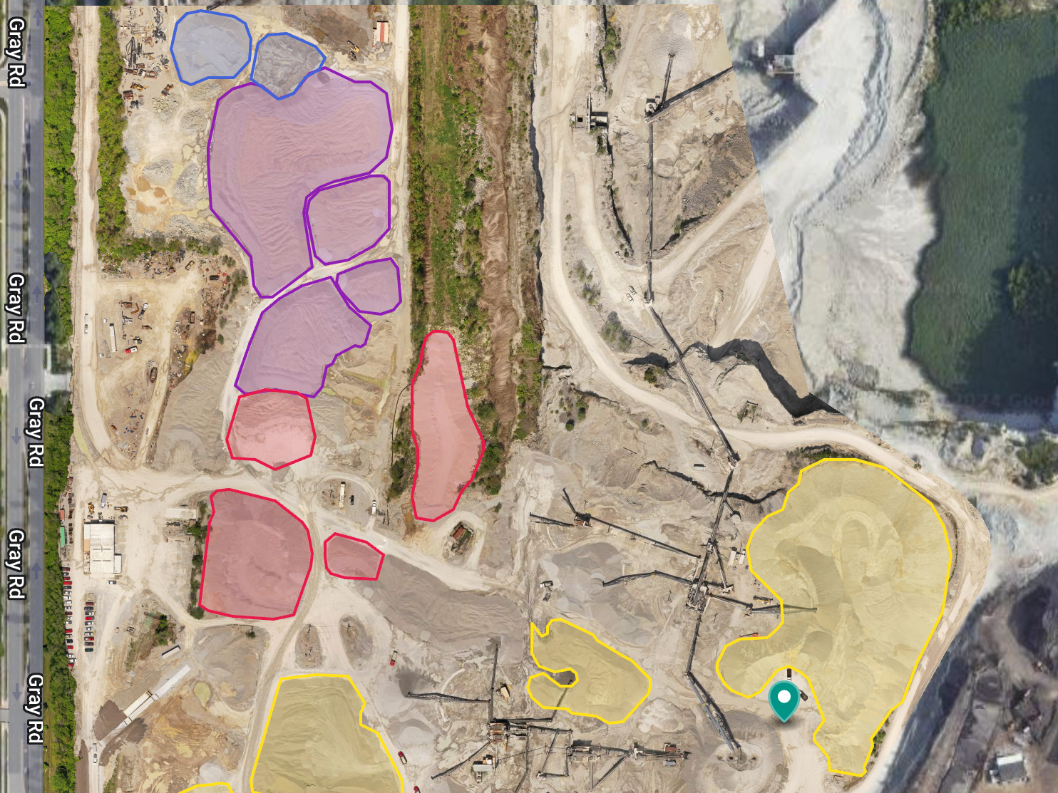
Volume Calculation
Accurately calculate volumes of stockpiles, earthworks, and other materials using aerial data, ensuring precise resource management.